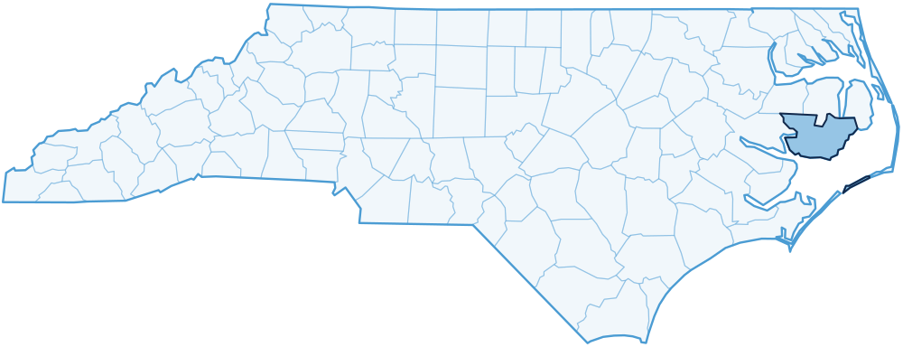
Hyde County
8 places on the trail: 8 highway markers.
Colonial North Carolina, 1585-1774
- B-7GRANVILLE GRANTFormed northern half of colony of North Carolina. Survey of southern boundary began 28 1/2 miles east across sound, 1743...
- B-43LT. ROBERT MAYNARDOf the Royal Navy. Sent by Gov. Spotswood of Virginia, in the sloop "Ranger," killed the pirate Blackbeard off shore, 17...
- B-42MATTAMUSKEETLargest natural lake in N.C. Center of an Indian reservation, established 1715. Twice drained and farmed. Wildlife refug...
The young state, 1790-1860
- B-19BRITISH INVASIONA British force under Admiral Cockburn occupied Portsmouth and Ocracoke, July 12-16, 1813. S.E. 30 miles across Pamlico ...
- B-55OCRACOKE LIGHTHOUSEOldest N.C. lighthouse still in service. Erected 1823 to serve Ocracoke Inlet trade. 75 ft. tall. Located 1/4 mile S.W.
- B-70USRC MERCURYU.S. Revenue Cutter in War of 1812. Patrolled Ocracoke Inlet. Escaped British ships offshore, 1813, to deliver warning o...
Modern North Carolina, 1930 on
- B-76HYDE COUNTY SCHOOL BOYCOTTAfrican Americans boycotted public schools for the 1968-1969 year, challenging desegregation plan to close black schools...
- B-58MATTAMUSKEET NAT'L WILDLIFE REFUGEThe refuge, observation tower, and hunting lodge were rehabilitated by Civilian Conservation Corps enrollees, 1934-42.